Latest News
Entries in the Latest News section are usually time-sensitive, such as updates about Town Hall office closures; traffic pattern changes due to DPW activity; and results of recent Town elections. Other events like MaynardFest and the Holiday Stroll are also announced on the Latest News feed.
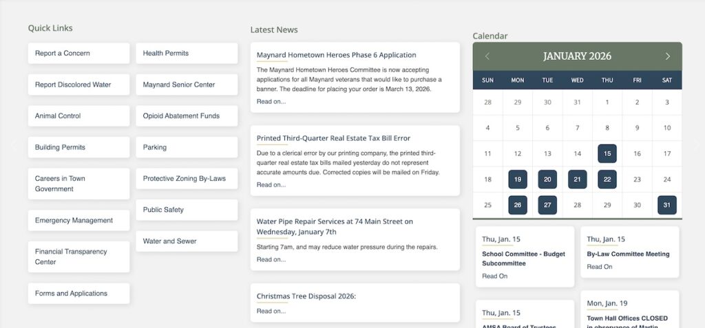
Quick Links
Quick Links are buttons assigned to frequently-used pages. The fastest way to apply for a new building permit is to click “Building Permits” from the Quick Links list. “Report a Concern” allows users to anonymously file a report or complaint about issues related to Health, Zoning, Conservation, Public Works, or other issues. Quick Links also connect to reference information, such as the Maynard Protective Zoning By-Laws, and the Financial Transparency Center, which shows a breakdown of the annual budget.
If you have a suggestion for additions to the Quick Links list, please reach out to the Office of Municipal Services at [email protected].
Calendar
Public meetings of Town Boards and Committees are posted by the Town Clerk to the Calendar. The front page calendar highlights days with scheduled meetings or events. Clicking “All Events” will show the full month, with links to the posted agenda for each meeting. From this page, you can also subscribe to any calendar (by clicking “Subscribe to iCalendar”) to add automatic event updates to your preferred digital calendar platform (e.g. Google Calendar, Microsoft Outlook, or iCal).
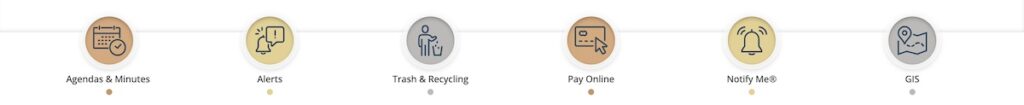
Pay Online
You can pay several different types of taxes and fees online, including quarterly water/sewer bills, property taxes and annual motor vehicle excise taxes. Fees for annual dog licenses can also be paid online. The Town of Maynard works with City Hall Systems (based in Hopedale, MA) for secure processing of online payments
Notify Me®
On the Notify Me® page, you can sign up to receive automatic updates from specific departments, boards, and committees any time a new agenda, meeting minutes, or news item is posted. You may subscribe to receive updates via e-mail and/or text message.
GIS
The gray button with a map icon will take you to the Town’s geographic information system (GIS) map. The GIS map shows publicly-available information about all parcels, regularly updated by the Assessors’ Office. The Layers menu contains overlays such as the zoning map, water supply protection district, locations of utility lines, and wetland areas. The Basemap menu (available via the toolbar on the righthand side of the page) provides other views including satellite and topographical maps.
Leave a Reply