SUMMARY: Once upon a time, the Assabet River National Wildlife Refuge was a federal “Superfund” clean-up site. This was a consequence of the land being seized for World War II military munitions storage in 1942, and then used for military training and equipment testing until 1990. Roughly two-thirds of the 3.5 square mile refuge became open to the public in 2005, with a visitors’ center added in 2010. See ws.gov/refuge/assabet-river.
Deep Roots
Archaeological evidence confirms the presence of Indigenous people dating back more than 7,000 years. Unlike much of what became Maynard in 1871, the southern third of this land was more favorable for farming and had ponds that provided year-round fishing. At the time of European colonists’ arrival, what is now central Massachusetts and northern Connecticut was Nipmuc territory. European diseases and colonial expansion decimated and displaced the native population, a process punctuated by King Philip’s War of 1675-78.
Surviving Nipmuc were either clustered in Christian convert “praying villages” or moved to native communities north and west of the region. When Sudbury was incorporated in 1639 and Stow in 1683, both contained all of what would become Maynard. A granite marker in the refuge on the Tri-Town Trail marks the point where Maynard, Stow and Sudbury meet.
A Finnish Farming Community
As Maynard grew, most residents settled near the ever-expanding woolen mill that operated from 1847 to 1950. By the 1920 census the population was just over 7,000, and it remained close to that figure through the eve of World War II. Even as downtown density grew, the southern third of town was mostly farm homesteads, many settled by immigrants from Finland who preferred farming to factory work. Much of what was grown went to family consumption, but there were also orchards, dairy cows, hogs and chickens. Sales were made to stores in Maynard and neighboring towns, and an early morning milk train ran to Boston.
The Evictions
When the evictions came, they came suddenly. The United States entered the war in December 1941. By March 1942, the Army had identified about 3,000 acres — primarily in Maynard but extending into Hudson, Stow and Sudbury — as suitable for a munitions waystation. Supplies could be held there until Boston Harbor was ready to load ships bound for Europe.
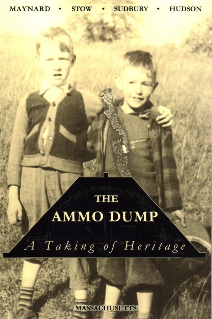
As documented in “The Ammo Dump” (2023), about 80 homesteads received notice in April that their land was being taken by eminent domain, with as little as 10 days to vacate. The government calculated what it considered fair market value, but many families felt they were underpaid — it fell to them to sell or dispose of furniture, farm equipment and animals, and to find new housing and jobs. Any promises that people could return after the war were never put in writing and never kept. Sixty years later, those still alive had a bittersweet opportunity to visit once the refuge opened, perhaps to find the site where their house, barn and fields had been, now grown over into forest.
The Ammunition Bunkers
Among the most interesting features of the refuge are its World War II-era ammunition bunkers. The site was chosen for its proximity to railroad shipping to the Boston Navy Yard, yet far enough inland to be out of range of German naval shelling. Each of the 50 bunkers — officially referred to as “igloos” — has interior dimensions of 81 by 26 by 12 feet, with a curved roof. Sides and roofs were mounded with dirt for protection and camouflage. [However, air view disguise and Maynard’s airplane lookout tower atop Summer Hill were overkill, as Germany never completed several attempts to build aircraft carriers.] Today, from all but the door end, the bunkers resemble small hills, complete with trees growing on top. Bunker No. 303 is sometimes open for tours.
From Training Ground to Superfund
After World War II, the site — known as the Fort Devens-Sudbury Training Annex — served as a troop training ground and ordnance testing and chemical disposal area for Natick Labs, the U.S. Army Soldier Systems Center. A 1980s assessment led to its designation as an EPA Superfund cleanup site in 1990. The site was contaminated with arsenic compounds, sprayed along the railroad tracks as a herbicide, as well as flame retardants and firefighting chemicals now known to contaminate water supplies. Cleanup efforts continued for years at a cost exceeding $20 million.
The Superfund designation was lifted in January 2022, following removal of underground fuel tanks, 55-gallon barrels of chemical waste and tons of contaminated soil. Groundwater monitoring continues. Most of the site was transferred to the U.S. Fish & Wildlife Service in 2000.
A Note on the FEMA Facility
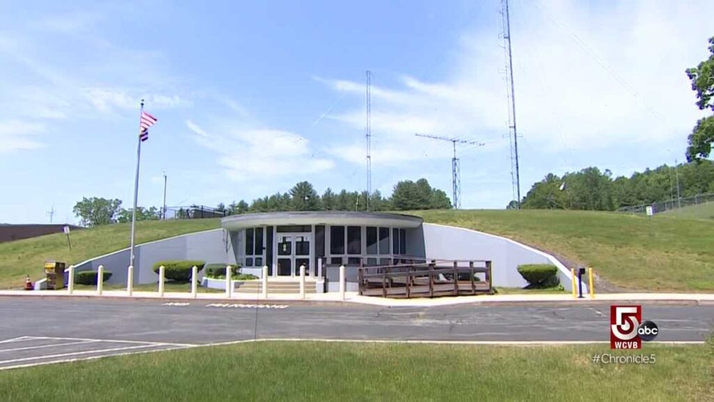
A 72-acre portion adjacent to the end of Old Marlborough Road was transferred to the Federal Emergency Management Agency (FEMA), which maintains a Regional Response Coordination Center there for natural and man-made disasters. It includes an underground bunker designed to shelter several hundred people during a limited nuclear event. Exterior and interior photos are available at coldwar-ct.com/FEMA_Regional_HQ_Maynard.html.
Visiting the Refuge Today
The refuge covers 3.5 square miles and, in combination with seven other eastern Massachusetts wildlife refuges, preserves habitat for mammals, reptiles, and local and migratory birds. A visitor center is located at 680 Winterberry Way, off Hudson Road. For those who want to park and explore, a north parking lot is accessible from White Pond Road off Route 117 in Stow. A small parking area at the end of Old Marlborough Road also provides access, though that trail is often flooded in winter and spring.
The refuge has 15 miles of old roads and walking trails; the roads, though in poor repair, are open to bicycling. Dogs, other pets, horses, fires, overnight camping, ATVs, dirt bikes and snowmobiles are not permitted. Catch-and-release fishing is allowed from the Puffer Pond dock only.
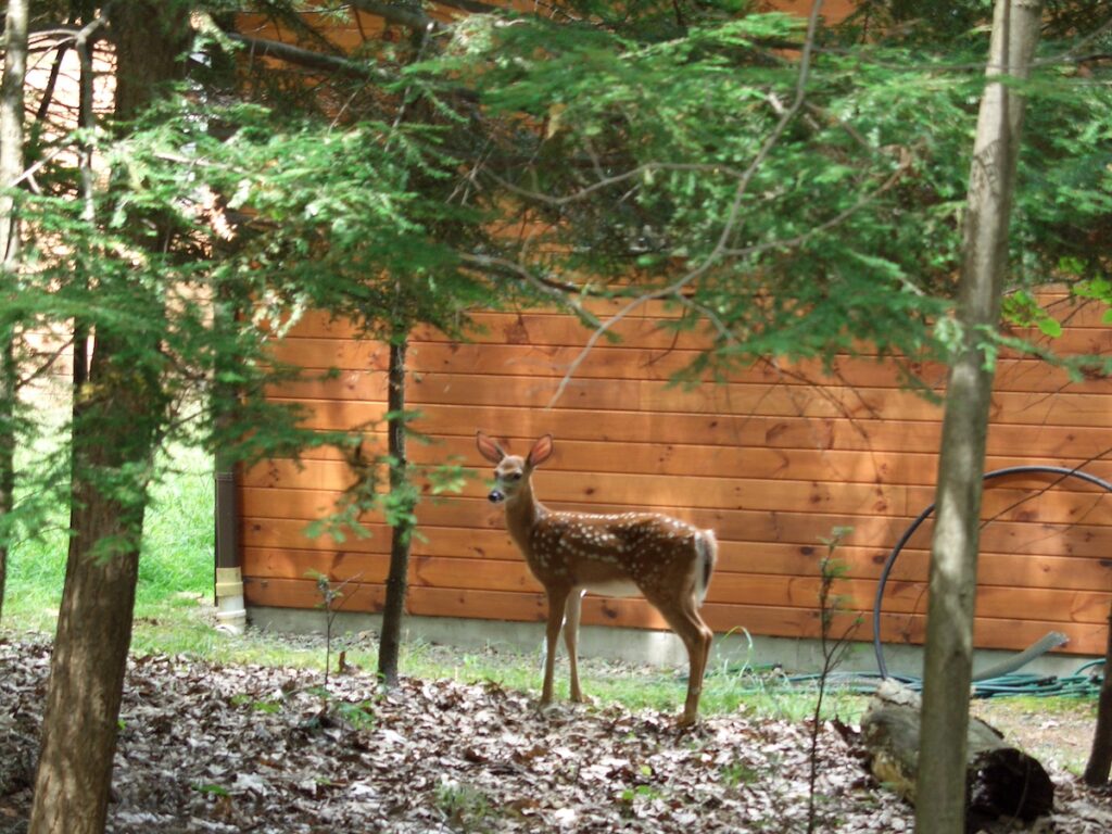
Hunting is permitted for deer, turkey, grouse, woodcock, coyote, rabbits and squirrels. This feels contradictory given the word “refuge,” but without apex predators such as wolves and mountain lions, deer populations can become a serious management challenge. Massachusetts’ deer population is estimated at 175,000, with the eastern half of the state more than double the targeted density of 12 to 18 deer per square mile. Eastern coyotes — larger than their western counterparts due to historical interbreeding with wolves — are still not particularly effective at preying on adult deer. Hunters harvest about 15,000 deer annually during the fall and winter season. Refuge visitors may want to wear blaze orange or limit visits to no-hunting Sundays.
For more information, visit fws.gov/refuge/assabet-river and the Friends of Woodlands and Waters website, which has a downloadable trail map atwoodlandsandwaters.org/assabet-river/trails. For the history of the evictions and the area’s military use, see “The Ammo Dump” by the Boothroyds.
To access hundreds of past columns from The Maynard Voice and the Beacon-Villager, visit maynardlifeoutdoors.com. An index is available on the site.
Leave a Reply